
Multimodal Spatio-Temporal Early Warning of Desert Locust Breeding Zones
Multimodal Spatio-Temporal Early Warning of Desert Locust Breeding Zones
Description
Details
Context and Problem Statement
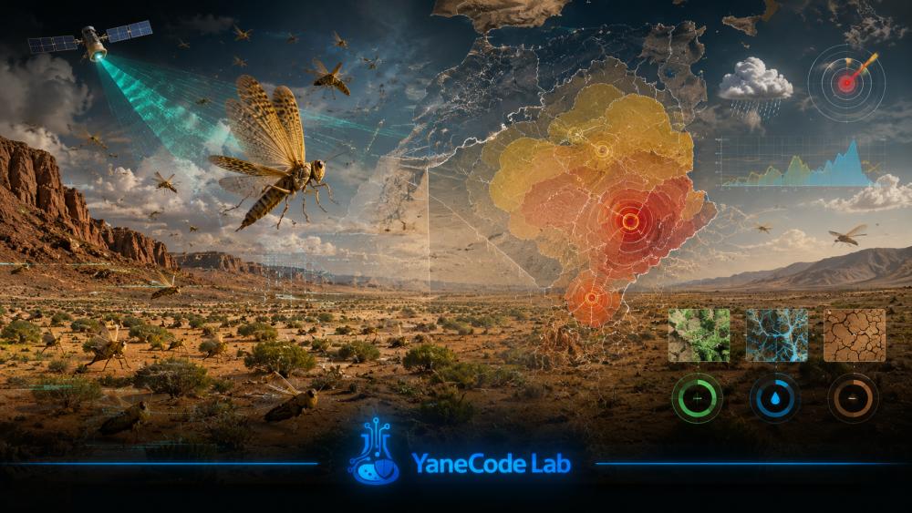
The desert locust is a major transboundary threat to food security across North Africa, the Sahel, and East Africa. Existing monitoring systems rely heavily on expert interpretation, while machine-learning approaches may be biased because absence of reporting does not necessarily imply absence of locusts.
Research Question
How can favorable breeding conditions be predicted several weeks in advance while explicitly correcting survey-effort bias and producing uncertainty estimates useful for treatment planning?
Proposed Approach
Fuse rainfall, temperature, soil moisture, and vegetation indices in a ConvLSTM or spatial graph model. Observation bias is addressed through occupancy modeling with imperfect detection, and explainability is provided through variable attribution and spatial contribution maps.
Expected Contribution
A calibrated early-warning framework with observation-bias correction and strict spatio-temporal validation.
Expected Prototype
A dashboard producing weekly risk maps with confidence intervals and export capabilities for surveillance workflows.
Datasets
FAO Locust Hub / DLIS, TerraClimate, ERA5, MODIS, and Sentinel-2.
Challenges
Sampling bias, false negatives, extreme class imbalance, climate-driven non-stationarity, and cross-border data limitations.
Research Question
Innovation
Expected Deliverable
Technologies
Required Skills
- Deep Learning for Spatio-Temporal Data
- Remote Sensing and Geomatics
- Statistics and Observation-Bias Modeling
- Geospatial Visualization
Datasets
- FAO Locust Hub / Desert Locust Information Service
- TerraClimate
- MODIS and Sentinel-2 vegetation indices