
Parameter-Efficient Adaptation of Earth Observation Foundation Models for Smallholder Crop Mapping
Parameter-Efficient Adaptation of Earth Observation Foundation Models for Smallholder Crop Mapping
Description
Details
Context and Problem Statement
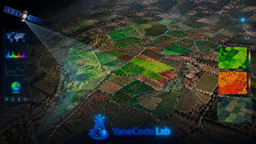
Earth observation foundation models are largely pre-trained on large agricultural landscapes from the United States and Europe. Their transferability to fragmented smallholder settings, where fields may approach Sentinel-2 pixel resolution and labels are scarce, remains poorly characterized.
Research Question
Which parameter-efficient adaptation strategy provides the best trade-off among performance, computational cost, and annotation requirements when transferring an Earth observation foundation model to fragmented agricultural landscapes?
Proposed Approach
Compare linear probing, low-rank adapters, normalization-only fine-tuning, and continued self-supervised learning on local unlabeled imagery for both field-boundary segmentation and crop-type classification, with robustness analysis under spatial and temporal distribution shifts.
Expected Contribution
A reproducible evaluation protocol and practical adaptation guidelines for label-scarce regions.
Expected Prototype
A geospatial pipeline producing field-boundary and crop-type maps for a Moroccan pilot region with uncertainty estimates and GIS export.
Datasets
Sentinel-2, Harmonized Landsat Sentinel, Fields of The World, and GPS field labels.
Challenges
Spectral mixing, cloud cover, computational cost, uncertain ground truth, and potential misuse of generated maps.
Research Question
Innovation
Expected Deliverable
Technologies
Required Skills
- Remote Sensing and Satellite Image Processing
- Deep Learning and Transfer Learning
- Geographic Information Systems
- Distributed or GPU Computing
Datasets
- Sentinel-2 / Copernicus Data Space
- Fields of The World field-boundary benchmark
- GPS field surveys in a pilot area